use our direct
inquiry-form
clear
menu
Home
Services
Overview -
Explosive ordnance investigation -
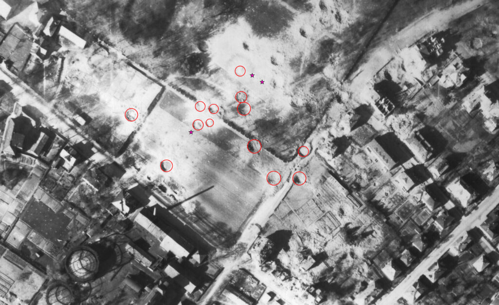
Aerial photo evaluation -
Historical Research -
Aerial photo research -
Trainings -
About Us
Career
Quality criteria
FAQ
Deutsch
More on the topic
Explosive ordnance investigation
arrow_forward
More
Historial Research
arrow_forward
New Button
Aerial photo analysis
arrow_forward
more
Career
arrow_forward
more